Share the post "Steep climb: Col de Joux Plane via Samoëns"
Every region has its bogey climb. Between Lake Geneva and Chamonix, in the heart of the Haute Savoie department, the Haut Giffre valley is no exception, with the famous Col de Joux Plane. Let’s discover it.
By David Polveroni – Photos: All rights reserved
This vast high-mountain massif stretches from the high cliffs of the Cirque du Fer à Cheval to the East (which gets its name from the horseshoe shape of its cliffs). Its impressive height (2000 meters) forms the ultimate ramparts before the Chamonix valley, and to the west, the Dents Blanches and the Ruan, neighboring Switzerland.
The Col de Joux Plane has previously been the scene of many stage finishes on the Tour de France and the Critérium du Dauphiné for professionals. It has also been part of the first stage of the Haute Route des Alpes, as well as the JPP (https://www.cyclo-jpp.com/la-
So it’s from Samoëns, a beautiful little village in Haute Savoie with just under 2500 inhabitants, elected the most beautiful village in Haute Savoie (QED), that we will present the ascent. This is the side that the Tour de France has taken 12 times. It is classified as First or Hors Catégorie depending on its position during the stage. But it’s always tough. The last passage in 2016 saw Colombian Jarlinson Pantano score points for the polka dot jersey, before being dropped on the descent to Morzine. A descent that can sometimes make more of a difference than the climb, especially on wet ground as was the case that day.
=> SEE ALSO: Col du Galibier, enter the legend
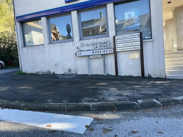
11.6 km at 8.5% average gradient
As soon as you leave the small Savoyard village, the tone is set. We are immediately in the thick of it. With an average gradient close to double digits on this first kilometer, you have to be wise and save some energy. With 11.6 km at 8.5% average gradient, but above all a gradient that will not stop increasing until 1 km from the summit, Joux Plane is one of those passes that you have to approach carefully.
=> SEE ALSO: Strava Segment
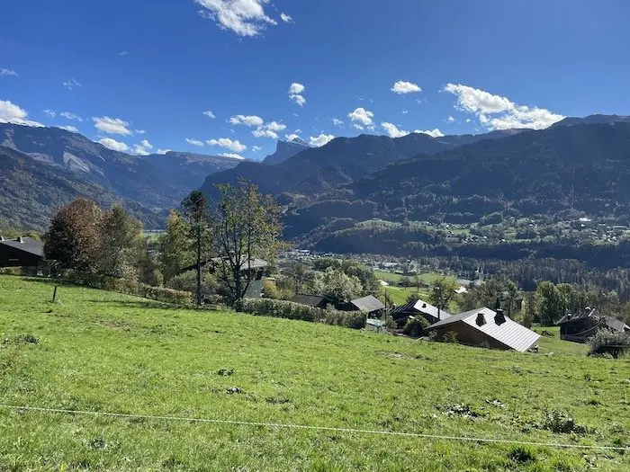
On the 2016 Étape du Tour, Megève – Morzine, the sportive edition could not allow comparison with the pros as it had been shortened by the Col de la Ramaz, due to roadworks on the descent. A climb that would have changed a lot of things before tackling “the ogre of Haut Giffre”…
For 6 kilometers, you have to find your rhythm, a rhythm that is not too slow, a rhythm where you feel capable of accelerating. With a total elevation gain of 1000 m, you still have to estimate your ascent time, your VAM, and for those with a power meter, to then estimate what your critical power will be over this duration. Those with a little experience will appreciate this, for novices, feeling or coaching will have to serve in this ascent depending on where it is located on your route.
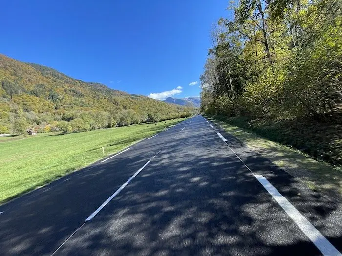
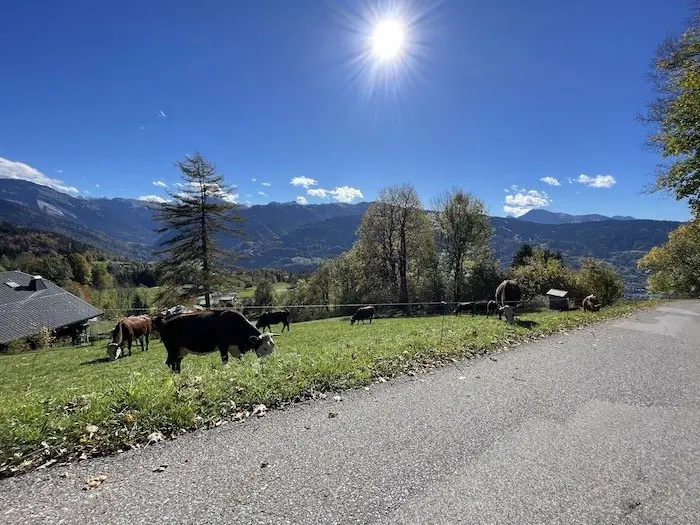
Here we are in the open, on a green road winding through meadows grazed by cows and Savoyard chalets.
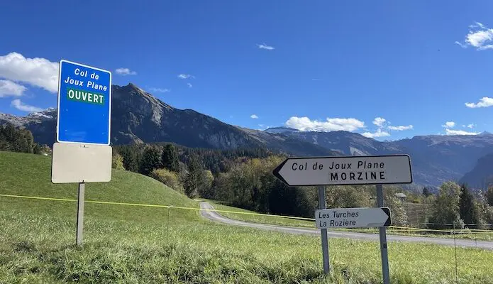
Here we are in the open, on a green road winding through meadows grazed by cows and Savoyard chalets. It’s beautiful. On still reasonable slopes, between 7.5 and 9% rather regular with two very short flat sections, it is at an altitude of 1080 m that the real challenge will begin. There are 620 m of elevation gain left, 6.5 km and after seeing the “open” sign you are then allowed to use your minimal gear.
A big ramp at 14/15% in the Combe Emeru will tell you a lot about your remaining strength. Here, you must not push yourself into the red, still be patient, and stay “at threshold” no more. A brief moment to recover and we tackle slopes still between 9 and 11% maximum. We then enter the forest on a road with a sometimes resurfaced surface where you feel you can roll the chosen gear well.
Alternate between riding out of the saddle and seated. This is where Lance Armstrong chose to attack, for example, at the Critérium du Dauphiné 10 years ago, a little over 3 km from the summit. This is where you will gradually have to give it your all over these kilometers, not necessarily at the American’s pace, but at yours: this Col de Joux Plane is a climb where you have to be at your own pace, at your maximum potential, but above all not to make too much effort, not to push yourself into the red. Otherwise, the penalty in this sector will be paid cash.
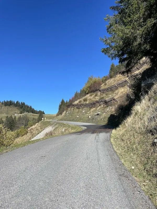
After a series of 5 more or less long hairpins, we find ourselves on a straight line, or almost, of 2 kilometers, more exposed in a mountain setting on a 9% slope, and then we see the summit 500 m away. You can then give it your all, or almost.
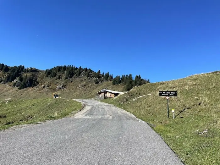
A tricky descent
One last hairpin to your left and this difficulty will be in the bag. You can eat at the col chalet depending on the season, and also have a small picnic at the lake which is located a few meters down after crossing the summit. The panorama here is extensive, dominating the entire valley. At 1700 m altitude, perfectly round, the Col de Joux Plane beautifully overlooks this Haut Giffre valley.
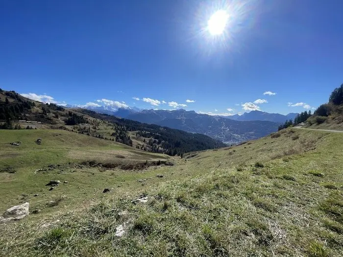
After 2 km of descent where you have to pedal and try to regain some strength. Because this Col de Joux Plane is a double pass, in the sense that a final 500 m ramp leads to the Col du Ranfolly, and then into the Aulps valley: the Morzine valley.
After three tight hairpins, you find yourself on a very fast descent towards Morzine. A descent that presents no particular difficulties, but beware of the last corner when arriving in the town, treacherous, which for example allowed Richard Virenque to win the 16th stage of the 2000 Tour without a sprint, with Roberto Heras going straight on here…
25 km between Samoëns and Morzine via the Col de Joux Plane. An adventure that can be done in a loop from Morzine by climbing the Côte des Gets. You can also climb the Col de l’Encrenaz, much more complicated, bypassing the resort to reach the Pont des Gets and return to Taninges to go up the Giffre valley to Samoëns. Joux Plane and the loop is complete.
https://www.savoie-mont-blanc.
=> SEE ALSO: All our Travel articles
Share the post "Steep climb: Col de Joux Plane via Samoëns"