Share the post "Reconnaissance of the 2022 Étape du Tour"
After two lean years due to the health crisis, the Étape du Tour sportive returns in 2022 and will take place in the Alps on July 10, between Briançon and Alpe d’Huez. The route promises to be as magnificent as it is demanding, with 170 km and 4700 m of elevation gain, including the Lautaret, Galibier, Croix-de-Fer passes and the final climb of Alpe d’Huez. Find the route reconnaissance that we were able to carry out before winter settled in the Alps, and the details of each difficulty.
By David Polveroni – Photos: All rights reserved – Strava screenshots
=> SEE ALSO: link to the Strava ride of the Étape du Tour 2022 reconnaissance

The Étape du Tour 2022 once again promises to be a legendary event, with high-standard services and closed roads. You will be in the same conditions as the professionals, who will ride the same course a few days later. The route starting from Briançon will take on the mythical Lautaret, Galibier, and Croix-de-Fer passes, with an arrival at Alpe d’Huez. The last arrival in the Oisans resort dates back to 2011, with the Étape du Tour between Modane and Alpe d’Huez.
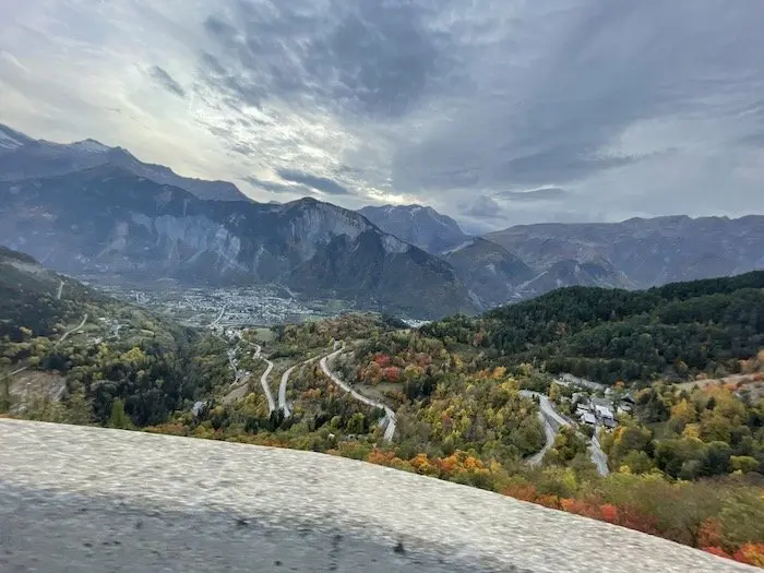
But this year the route is on paper one of the hardest proposed in recent years. A completely different register compared to 2011, where the distance was relatively short. Because in my opinion, the one that comes closest is the one connecting Grenoble to Les Deux-Alpes in 1998, with the Croix-de-Fer, Galibier passes and the arrival at Les Deux-Alpes. A stage which, subsequently, was decisive in the Tour of that same year, with Marco Pantani’s victory in hellish conditions.
This Étape du Tour 2022, for its part, takes the exact route of the 1986 Tour de France stage where Bernard Hinault and Greg LeMond arrived hand in hand at Alpe d’Huez. A reference that will not speak to the youngest of our readers, but which has marked all cycling history enthusiasts. Let’s hope that for all participants of this Étape du Tour 2022, the weather will be on their side. Otherwise, the route can turn into a real ordeal.
=> SEE ALSO: The Étape du Tour 2022 route in video
Altitude, elevation gain, distance: it will certainly be an epic event. I rode the entire route for you, in these last days of Indian summer.
The Col du Lautaret as an appetizer
The first pass, the Lautaret, continues with the next, the Col du Galibier. The Lautaret is a pass with ideal characteristics for warming up, but it can also prove to be quite treacherous.
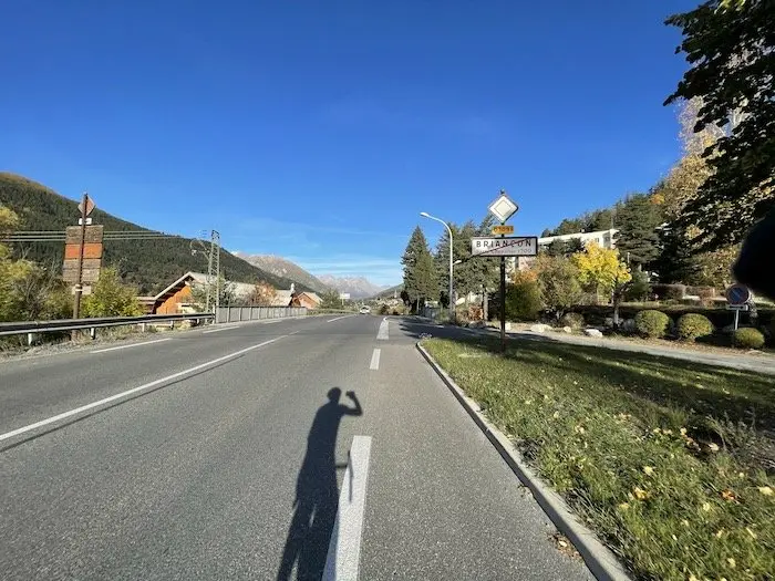
With 26 km for a little over 3% average gradient, one can tend to get a little too carried away, especially with physical freshness. But it will really be necessary to take this pass with caution, trying as much as possible to benefit from the shelter in the peloton. Indeed, due to its gradient and exposure to the wind, staying in a group as much as possible will be important.
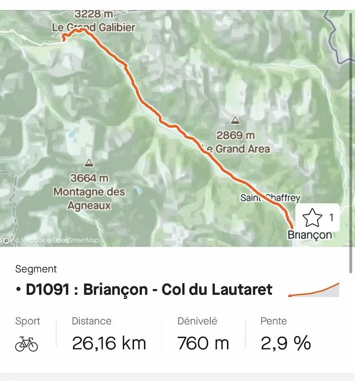
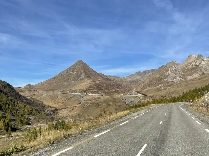
After a few ramps at the exit of Briançon, the foot of the pass is actually located at the exit of Monêtier-les-Bains after 13 km. But it remains relatively rolling up to the Lautaret, hovering around 4/5%, on a fairly wide road with good efficiency. You really have to think about the rest of the race at that point. The wind can be very noticeable, slowing your progress, or on the contrary, pushing you a little. You can see the summit of the Galibier from very, very far away; it’s watching you. After passing under the avalanche barriers, you will then know that you only have one kilometer left before tackling the first ramps of the giant of the Alps. In the meantime, the Lautaret is still at an altitude of 2058 m, which is not insignificant in terms of effort management.
The Col du Galibier as a starter
Whatever the wind direction, shifting to the small chainring will be mandatory at this point. There is no transition between the Col du Lautaret and the first slopes of the Galibier. This first ramp will be done with a headwind, if the wind is from the north as it usually is. Little by little, the altitude will start to be felt, although in this direction, and with the freshness, it will pass much better than at the Marmotte a week earlier, the other event passing through these same passes, but in the opposite direction.
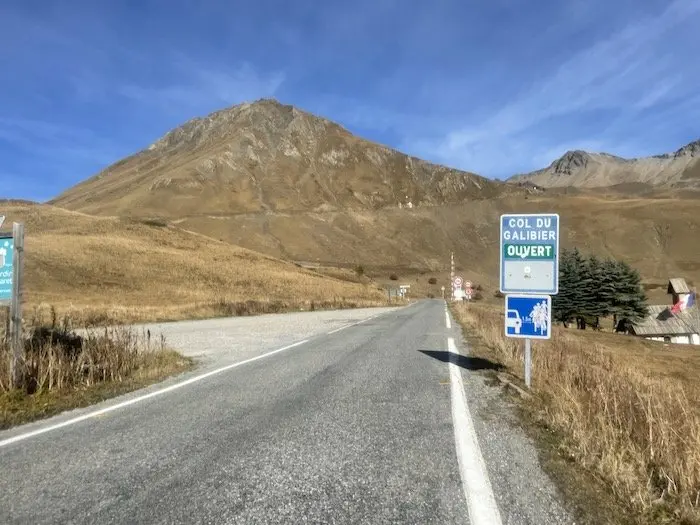
It will therefore always be necessary to be patient on this climb. 8.5 km long, with a gradient of around 6/7% up to the tunnel, and very slight flat sections. But beware of the wind, here again.
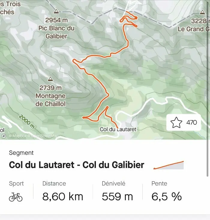
It’s not before the tunnel that you’ll have to unleash your first efforts. The gradient then rises significantly under your wheels, and you reach percentages between 9 and 12% on this last kilometer.
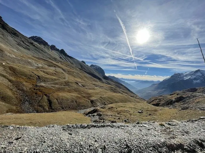
I recommend maximum economy on this very first part of the race. You must refuel well at the summit, even if few kilometers have been covered. It is important to be humble with the mountain.
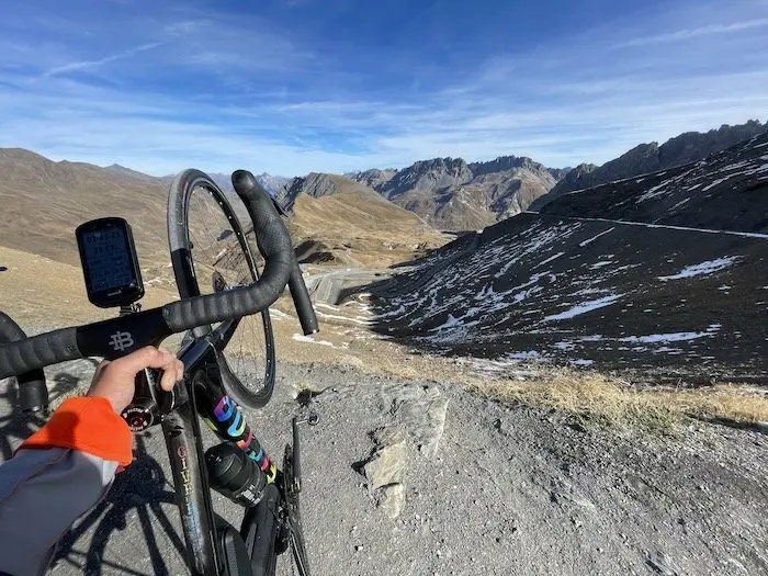
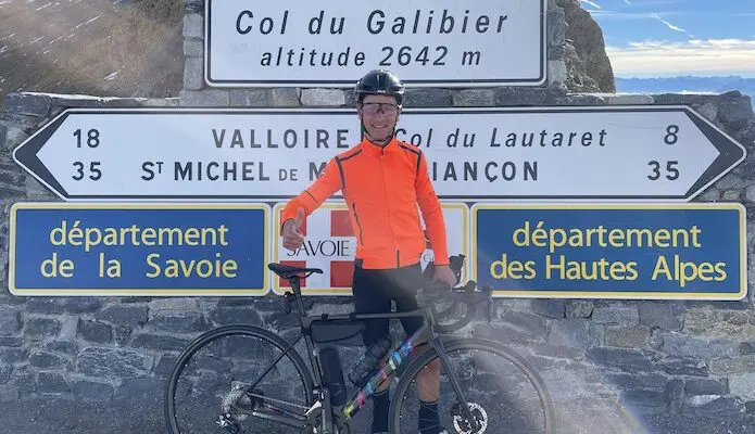
This is the roof of the event, at 2634 m. Some will enjoy the view, others will pass at full speed. The descent to Valloire will be rather fast with nice curves: nothing special about this descent, except that you will have to pay particular attention to the humidity on the first few hundred meters, due to the snow still present on the verges at this time of year. There is then enough to reach good speeds between Plan Lachat and Valloire, with nice straight lines, especially since the road will be entirely for you. Be careful to always remain in control of your machine.
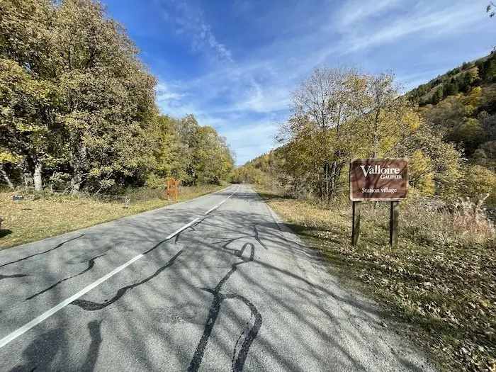
In Valloire, you’ll have to climb the Col du Télégraphe again, which isn’t very difficult from this side. There are 2 km at 5% then 1.5 km that are more rolling, but be careful, it breaks the rhythm a bit. It’s on this kind of small climb that you can lose energy; the ideal is always to be in a group.
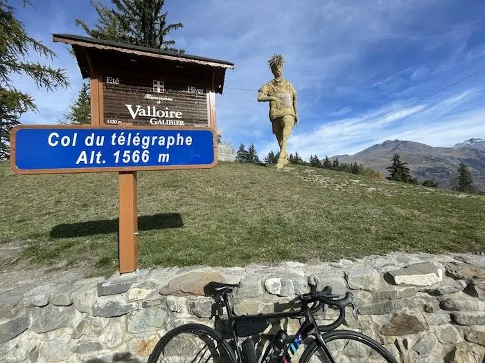
It is then that the real descent of the Col du Télégraphe will begin, a descent with some beautiful hairpins, and a sometimes degraded road. It is heavily used by trucks. Upon arrival in Saint-Michel-de-Maurienne, a valley follows, with a rather descending profile of 12 km. Once again, the wind can be important, and it is advisable not to be alone. Economy, nutrition, recovery, while waiting for the second giant of the day, the Col de la Croix-de-Fer.
The Col de la Croix-de-Fer as the main course
After crossing Saint-Jean-de-Maurienne, the land of Opinel knives, the first slopes of the Col de la Croix-de-Fer are very difficult. You feel like you’re hitting it hard. It’s a really irregular pass, with almost 30 km of climbing, interspersed with small descents. It’s something really different from the Lautaret/Galibier sequence. It’s a mountain road a little less “highway” than the Lautaret, and especially with ramps regularly flirting with 10%.
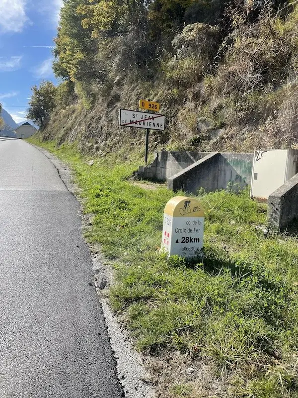
The Col de la Croix-de-Fer breaks down as follows:
It’s first a first ramp of a little over 3 km with a gradient oscillating between 8 and 10%, on a long straight line, very often exposed to the sun. The feeling of baking is palpable. Especially since the majority of participants will pass through in the late morning. So it’s important to stay well hydrated.
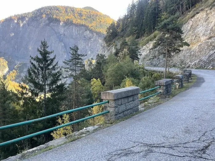
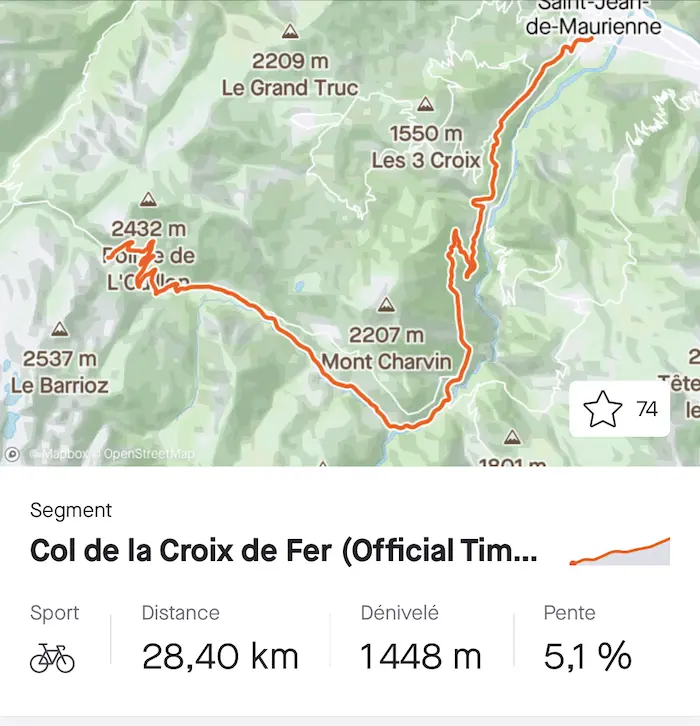
After a short descent (I recommend taking a small sweet snack during each small descent on this pass), we tackle the second part. The gradient sometimes steepens with sections at 12%, relatively short, where small gears are necessary, always with the aim of conserving energy. This 5.5 km long section with an 8.5% average gradient will take us to an altitude of 1320 m. At the end, you will find a small tunnel that will mark the end of this second part.
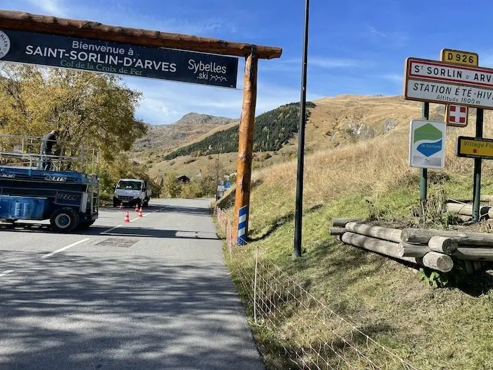
There is then another short descent. Be careful, we couldn’t pass through there during our reconnaissance due to roadworks. We had to go through Saint-Jean-D’Arves. But you will find a section with rather rolling percentages up to Saint-Sorlin-d’Arves at 1550 m altitude.
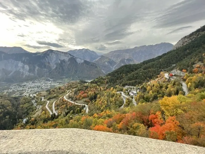
Crossing the village will mark the beginning of the last part, with some steep sections in the village, then a 6 km climb around 7/8%, with many hairpins. If you’re not tired, it means you’ve managed well so far. It’s on this section that you could let loose a little. At this point, take stock of your condition: before, I advise not to push yourself until Saint-Sorlin and to stay in reserve. At 2067 m, the scenery is also sublime. Enjoy it if you can.
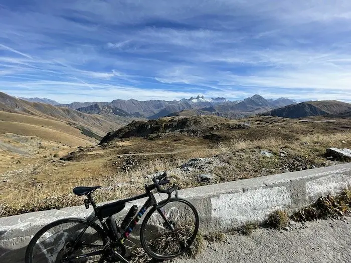
In the descent of the Croix-de-Fer, as in that of the Galibier, it is necessary to ensure proper nutrition and to cover up if necessary depending on the weather conditions. The descent is quite atypical with very fast sections. And some nice climbs. The first climb is at the level of Lake Grandmaison, not very difficult, 1.5 km at 4%. Then, a fast, sometimes winding descent follows, with a long, very steep straight line before the climb to Rivier d’Allemont. Be careful, after this straight line, you gain a lot of speed and the bend at the bottom can be treacherous, especially in wet conditions, with fatigue. Vigilance! At this point, a good 1.5 km climb between 10 and 12% really hurts the legs. After Rivier d’Allemont, it’s again a fast descent to the Verney dam.
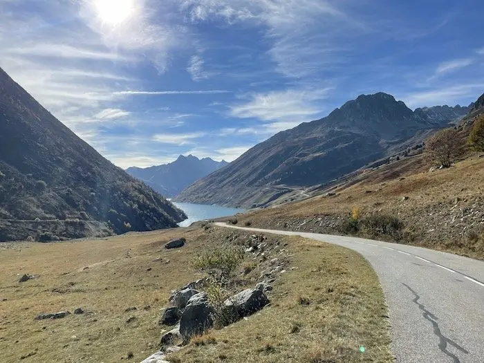
After crossing Allemont, then arriving at Rochetaillée, it’s then a valley section that will lead you to Bourg-d’Oisans at the foot of Alpe d’Huez and its a little over 13 km for 1150 m of elevation gain. This is the moment to mentally start tackling this last difficulty.
The mythical climb of Alpe d’Huez for dessert
It’s one of the most mythical climbs of the Tour de France, a climb I don’t particularly enjoy, but that’s personal. You really have to manage the first section up to La Garde, 2 km long, with regular 10% gradients, with recovery only on the flat sections in the bends.
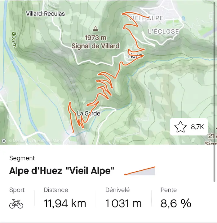
Then your mental resources will be tested, whatever your position in the race. You will have a little over 10 km left, with a fairly consistent gradient of around 8%. This is where your preparation and your initial race management will be important.
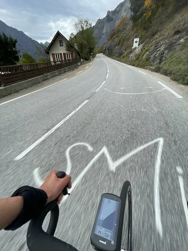
It’s an endurance event, where managing your strength is paramount, to find pleasure, a pleasure in suffering that only athletes can know. That’s what I wish for everyone this July 10, 2022, and I hope to see you in Alpe d’Huez to discuss it!
To summarize, this route, which can be compared to that of the Marmotte in the opposite direction, is actually a little easier in its difficulty, if one can express it that way. Indeed, the Galibier tackled at the beginning of the event will create less of a gap than it does on the Marmotte. The same goes for the Croix-de-Fer, with some recovery sections on that side.
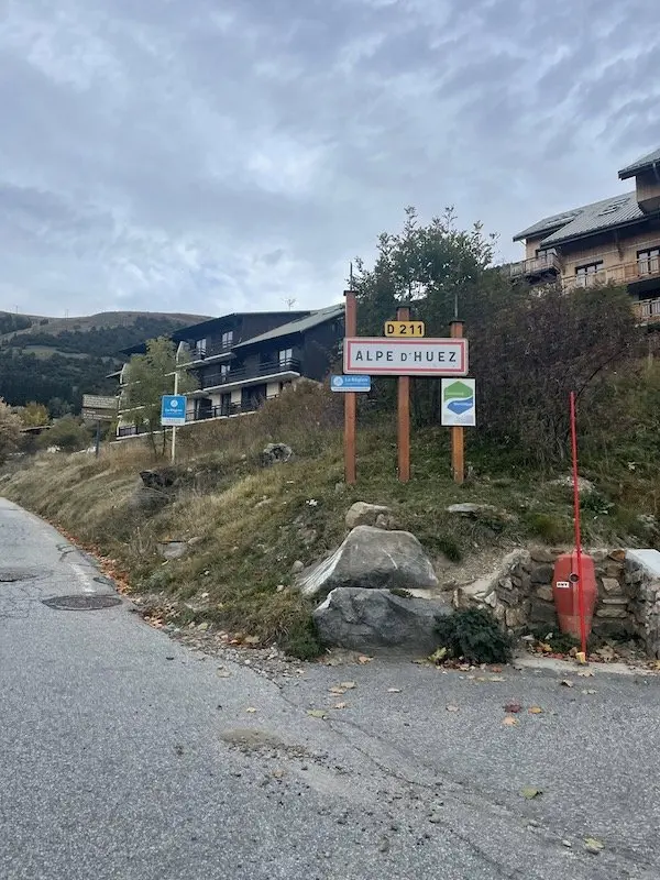
We will probably approach Alpe d’Huez with a little more freshness than for the same intensity given on the Marmotte route. Because, beware, it remains a very difficult route, in my opinion the most difficult since 1998. Enough to motivate you for good training between now and then.
Recommended gearing: 34/34 to 39/32 depending on your level and pedaling style.
=> SEE ALSO: All our MAG articles
=> SEE ALSO: All our Travel articles
Share the post "Reconnaissance of the 2022 Étape du Tour"