Share the post "Ironman Nice (and 70.3): The Bike Course in Detail (Photos and Videos)"
By Pierre-Maxime BRANCHE and Sylvain PIGEAU. Photos: 3bikes.fr
- Ironman Nice highly ranked
- Mentalizing the sections
- The road book
- A stop in Gréolières
- The 70.3 World Championship
It’s one of the most beautiful courses in the world on the Ironman circuit. And we are absolutely not writing this out of chauvinism. Every year, participants in Ironman (around 40) and Ironman 70.3 (over 100) events worldwide answer a questionnaire sent by the organization on general satisfaction, the progress of each discipline, the post-race party, the destination, and the host site. The goal: to improve events and thus offer a unique race experience, these rankings then giving triathletes ideas for trips and adventures in the most beautiful destinations in the world.
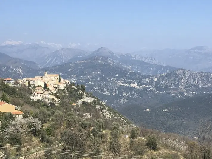
In this little game, the French events (Nice, Vichy, and Aix-en-Provence) always rank among the top places. In 2018, Ironman Nice obtained the 3rd best global score in the “general satisfaction” category, behind Ironman Cairns in Australia and Ironman Kalmar in Sweden, and thus positioned itself in second place at the European level. The same goes for its bike course, ranked 3rd worldwide behind these same two races, but in reverse order. When we tell you that Ironman Nice is highly praised! It must be recognized that the course designed by Yves Cordier, Ironman France director, and his teams is worth the detour. Here is a complete presentation of this 173 km loop.
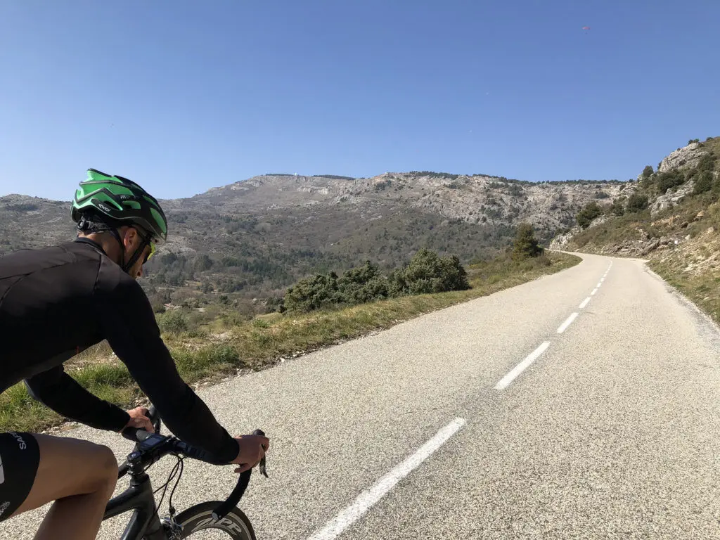
Mentalizing the 5 sections of the course
As we just wrote: the Ironman France Nice bike course is ONLY 173 km long. So it’s missing 7 km to reach the official quota of the mythical distance (3.8-180-42), but don’t worry, this is largely compensated by the 2,095 m of positive elevation gain. Suffice to say, you’ll still be exhausted. In your mind, this unique loop can be divided into five main sections (which we detail below):
1 – km 0 to 20: the warm-up from the bike park exit to the foot of Gattières, through the Var valley;
2 – km 20 to 70: the uphill part of the event to the Col de l’Ècre;
3 – km 70 to 125: a flatter and rolling section at altitude;
4 – km 125 to 155: the descent announcing the return;
5 – km 155 to 173: the return to the bike park via the Var valley taken that same morning.
Like Tour de France riders who tape the profile of mountain stages to their frames, this is a schematic representation of the course that you can at least mentalize to approach this long journey.
Being caustic, we could push it a bit by telling you that once the Col de l’Ècre is reached (km 70), the bike part is over! Yes, we’re exaggerating a lot, but there’s still an idea behind it: at 1,120 m altitude, the Col de l’Ècre is THE reference point of the course that you should keep in mind as soon as you get on the bike to manage your effort (see below).
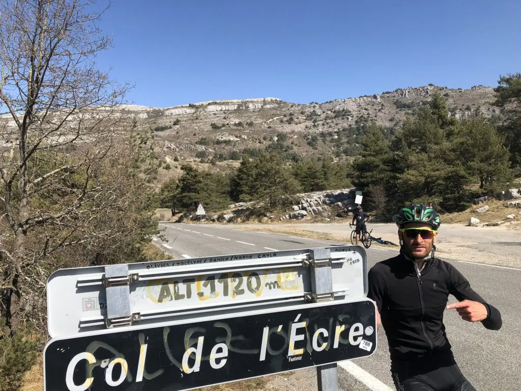
Once this difficulty is passed, the course becomes much more favorable until Nice with many false flat descending or downhill sections that will allow you to gain and maintain speed.
Optimize the descending (false flat) sections, with few turns, to fuel yourself.
Thus, these will be ideal moments to seriously fuel yourself. Even if you can drink throughout the course, you must also take advantage of calm moments to eat. Optimize the descending (false flat) sections, with few turns, to fuel yourself. You can thus maintain speed while releasing pressure. These conditions are also very conducive to relaxation, in view of the next difficulties.
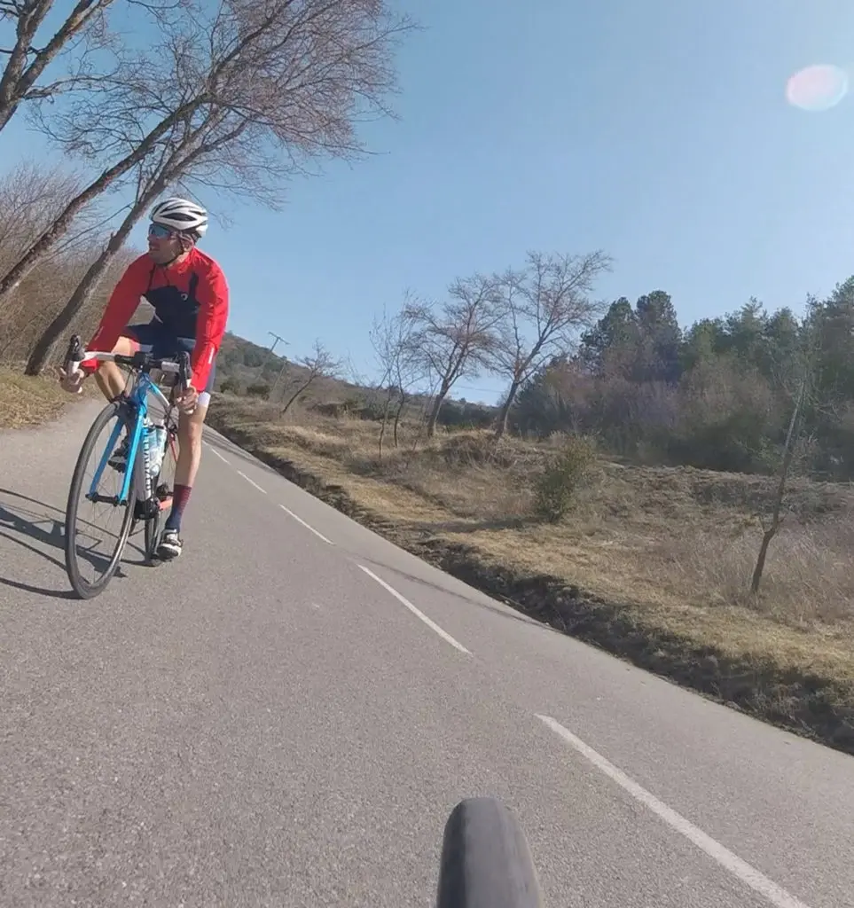
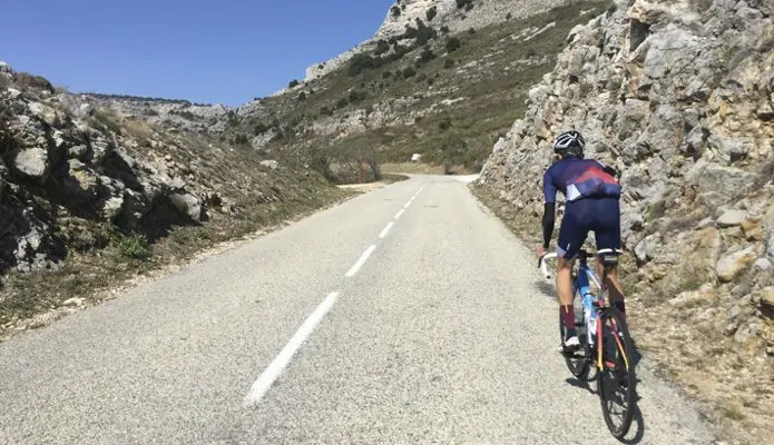
Two caveats, however, to this good news after the Col de l’Ècre: on the one hand, a few climbs (Col de la Sine at km 80, Côte de Saint-Pons at km 105, Côte de Coursegoule at km 125, and Côte du Broc at km 137) which will force some to shift back to the small chainring even if they don’t offer difficult gradients, but the accumulation of kilometers gradually taking its toll; on the other hand, Aeolus could face you on the entire return part of the course, from the descent leading to Gréolières.
Nice – Gattières (0-20)
Alright, it’s around 8 or 8:30 AM and you’ve just swallowed 3,800m of swimming in two loops in the Baie des Anges. Before reaching your bike spot, take a few seconds under the showers available right after exiting the water. The goal: to clean your face and rinse your mouth of all the salt accumulated during this swimming part. You’ll gain comfort and avoid possible irritations on friction areas (neck, armpits) that can occur during the six, seven, or eight hours you’ll spend in the saddle. Once you arrive at your spot, make your transition in order and without rushing. Close your helmet strap and push your bike to the exit of the park before getting on it. Time for the bike!
This first section is very manageable to start your race. The start takes place on the Promenade des Anglais to Nice airport, then you turn right to go into the Var valley towards Gattières. In the morning, the wind is very often favorable or three-quarters from behind. Get your legs moving, but above all, mentalize your course as we indicated above.
Another important point: for management purposes, keep in mind that you should not pedal too hard until the Col de l’Ècre, located 70 km further. You are not racing for the win; the leaders have already passed a long time ago. Losing strength here means ensuring a difficult end to the course.
Pedal smoothly, listen to your sensations, and don’t get carried away, especially if the wind is with you and your speed increases. Don’t be fooled.
This is also the time to fuel up. You will have been in the water for over an hour, without drinking or eating. Take advantage of this calm period to take stock of your nutrition, think about your energy plan. Favor solids for now.
Share the post "Ironman Nice (and 70.3): The Bike Course in Detail (Photos and Videos)"