Share the post "Col du Galibier: Enter the Legend"
From Emile Georget’s first crossing in 1911,
to its 61st passage this year on the Tour, the Galibier has forged
its legend in the world of cycling for over a century.
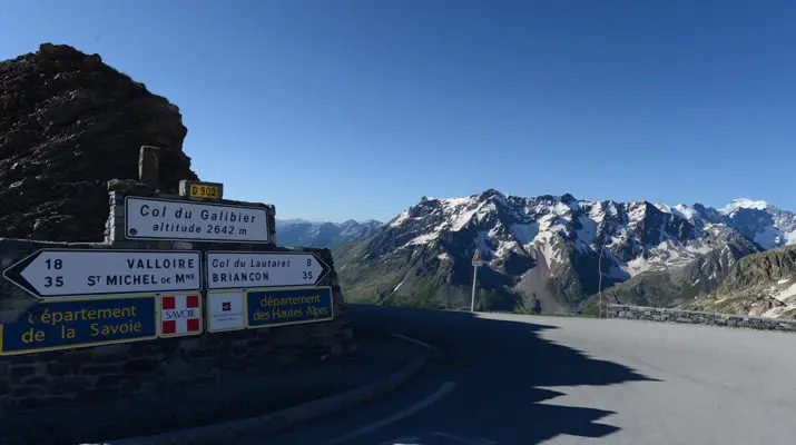
At 2,642 m high, the pass straddling Savoie
and the Hautes-Alpes is a monument to tick off.
Text and photos: Sylvain Pigeau.
Climbing the Galibier means taking a road steeped in history and ascending one of cycling’s legends. We tend to promise beginners that the initiation to become a racer involves crossing a pass over
2,000 m. It’s a bit like the “first 8,000”, minus the toe amputation, but sometimes with numb fingers. Crossing the fifth highest road pass in the Alps means entering a caste. But taming it is impossible. Whatever happens, you can never claim to have conquered the Galibier and passed
“well, at your own pace”. If that were the case, you would have disrespected it.
The Télégraphe, Plan Lachat, the tunnel, Henri Desgranges or Marco Pantani. These names resonate as much against the walls of the Grand Galibier as the inscriptions
on the road give this monument the dimension of an Alpine fresco. Mountain gearing mandatory, windbreaker in your pocket, we’re taking you along.
“Oh Sappey, oh Laffrey, oh Col Bayard, oh Tourmalet! …
Next to the Galibier, you are pale and vulgar swill”
Henri Desgrange
NORTH FACE
From Saint-Michel de Maurienne, the ascent begins with the Col du Télégraphe. A 13 km climb at an average of 7%. This “appetizer” should not be taken lightly in the total climbing time as it represents almost half of it. The first five kilometers are the most difficult in terms of gradient and the maximum percentage can reach 11%. This is followed by a calmer section in
the forest and finally three last kilometers, at the intersection with the road
to Valmeinier, which are very easy. It is then possible to put on a bigger gear.
At the summit of the pass, you can admire the Maurienne valley and, on a clear day, try to glimpse the surroundings of Modane. As you descend, you can see Les Karellis and Montricher Albanne on the other side, then after a kilometer of descent, the village resort of Valloire.
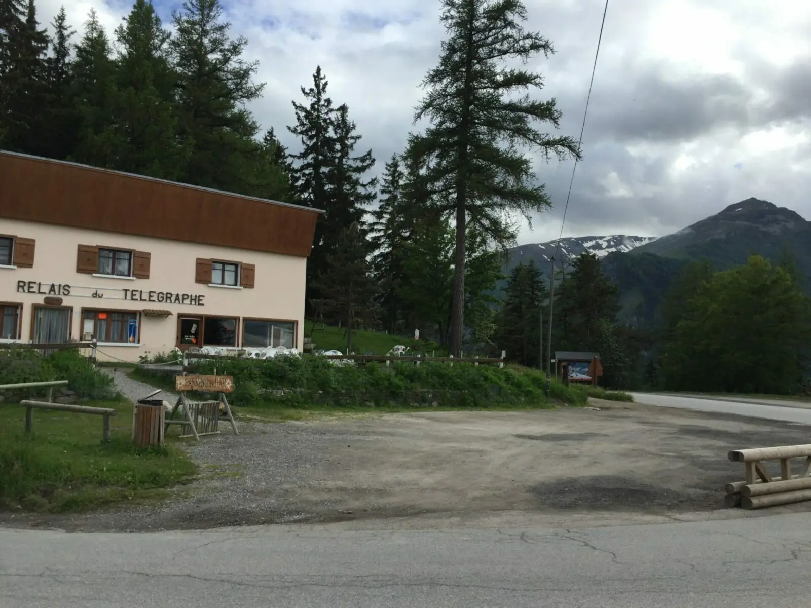
It is possible to refuel at the fountain while passing through the village. In case of high heat, it is even recommended. At the exit of Valloire, after crossing the bridge over the Valloirette, the final ascent begins. First, with a 2 km ramp at 10%, leading you to Les Verneys. The next 6 km are not the most complicated but require rigorous management to properly approach what follows. Indeed, at the hamlet of Bonnenuit (airfield), the gradient is around 6 or 7% and you must not be caught out.
The landscapes, however, are magnificent. You enter the vast Alpine expanses and the impression of grandeur is breathtaking. It will accompany you to the summit.
At Plan Lachat, on your left, a military road leads towards the pass and the Rochilles camp. But in front of you, after a brief moment of calm, stands the last part of the ascent of your monument of the day. 8 km at almost 8% average, the first 2 of which are at 10%. Added to this, the 2,000 m altitude mark has just been crossed and the sensations accompanying it are present.
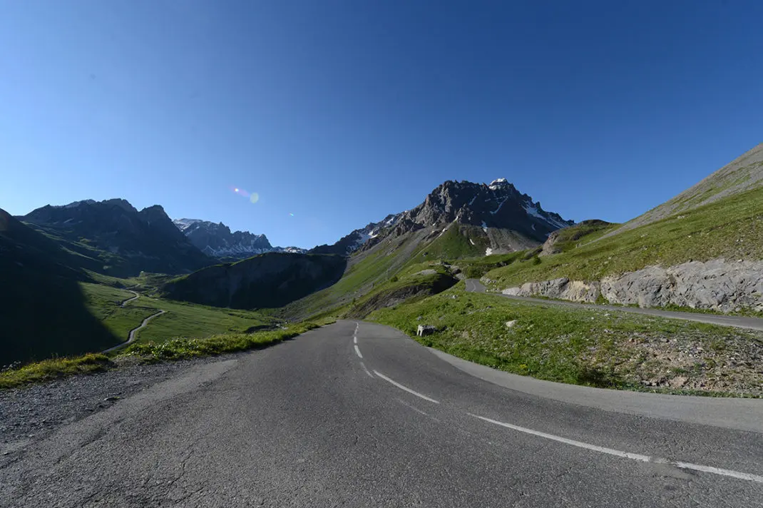
Over the kilometers, the inscriptions on the road allow you to imagine the atmosphere during the Tour de France’s passage and, depending on the time, you might even be lucky enough to cross paths with some marmots. At the end of these 2 km, you reach the first location of Marco Pantani’s stele (see below) and glimpse the last part ahead, with the tunnel and the pass in the distance. This is undoubtedly the most psychologically difficult moment. All the results of your good management will then be felt at this instant. If this were not the case, trouble would begin.
A terrible last kilometer
The gradient rarely exceeds 8% until the tunnel. There are even moments to catch your breath. The last kilometer is terrible. 100 m of elevation gain in 1 km, or 10% average. In a final effort, you pass the last hairpin and finally glimpse the summit, which you reach via a final short straight. The relief after almost 40 km of ascent and a breathtaking view of the beginning of the Ecrins massif and Briançon, to the south, Mont Thabord and on a clear day Mont Blanc, to the north. A just reward.
SOUTHEAST FACE
On the south side, you have to factor in the ascent of the Col du Lautaret, depending on your arrival
from Briançon or Bourg d’Oisans. In both cases, it’s more than 30 km of climbing, but with average gradients of about 4% and rarely exceeding 6%.
The Lautaret has a certain tourist appeal because it is the only French pass
over 2,000 m that is open almost all year round. The beauty of the landscape
and the view of the Meije glaciers do the rest.
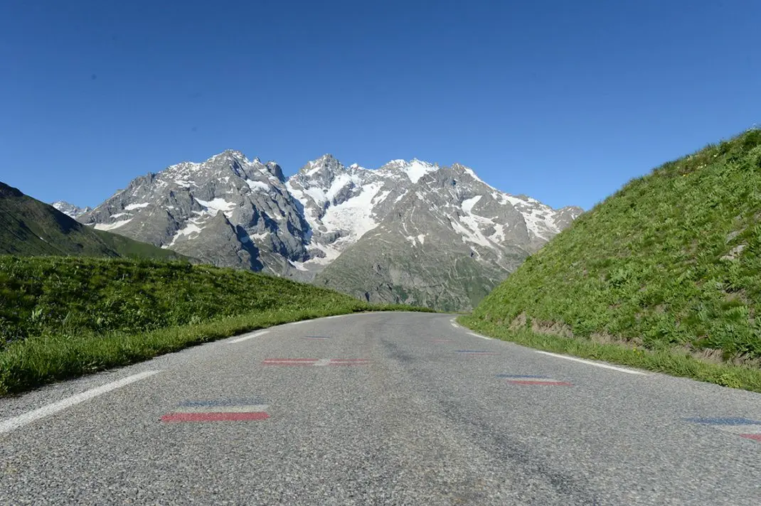
On this side, the climb is much more relaxed. In the Tour de France, the pros even generally ride on the large chainring. The gradient rarely reaches 8%, except for the last kilometer, which, like its northern counterpart, allows you to gain 100 m of altitude. Here again, you tackle the last part with a final push. Before starting this last rush, you can stop at the famous monument dedicated to Henri Desgranges, founder of the Tour de France. A photo is mandatory unless you are focused on your performance.
If you’re staying in Valloire, we recommend heading towards Saint-Michel de Maurienne, then climbing the entire Galibier from the North. Descend, turn around at Lautaret and come back, this way, you will fully appreciate the scale of this Alpine giant.
| A bit of history Located on the Route des Grandes Alpes, the Col du Galibier road was built The route has also undergone modifications on both sides. On the Valloire side, to the north, the Plan Lachat ramp (with sections at 14%) was softened by the construction of several hairpins near the hamlet of Bonnenuit. The latter is bypassed, between the river and the airfield. On the other side, you can still see the route of the old road, which started at the tunnels about 3 km before the Col du Lautaret (from Briançon). The ascent was about 6 km long, on an unpaved road |
Marco Pantani, the pirate lives on
One day in July 1998, in torrential rain, Marco Pantani literally dropped Jan Ullrich and his opponents on the heights of Plan Lachat.
The Italian climber then headed for his first, and only, success in the Tour de France, after a solo breakaway to Les Deux Alpes. Following his tragic death in 2004, a stele was erected at the very spot of his decisive attack. After some damage, it was moved a kilometer higher, not far from the farm.
Share the post "Col du Galibier: Enter the Legend"