Share the post "Reconnaissance of the Étape du Tour 2019"
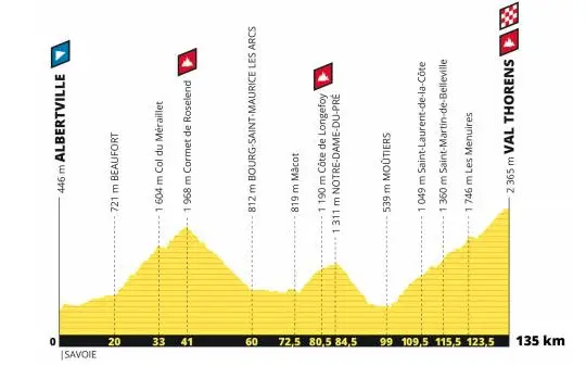
For the fifth consecutive year, the 2019 Étape du Tour sportive will take place in the Alps on July 21st. Competitors will start from Albertville and finish at the Val Thorens resort, after a climb of nearly 40 kilometers. A short event, with 132 km on the bike computer, but with a significant positive elevation gain of 4500 m. David Polveroni, one of the best French sportive riders, reconnoitered it exclusively for 3bikes.fr readers.
By David Polveroni and the editorial team – Photos: Gregory Gaude / ASO
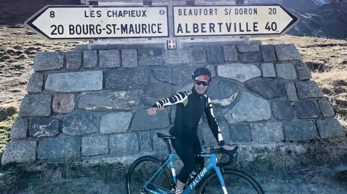
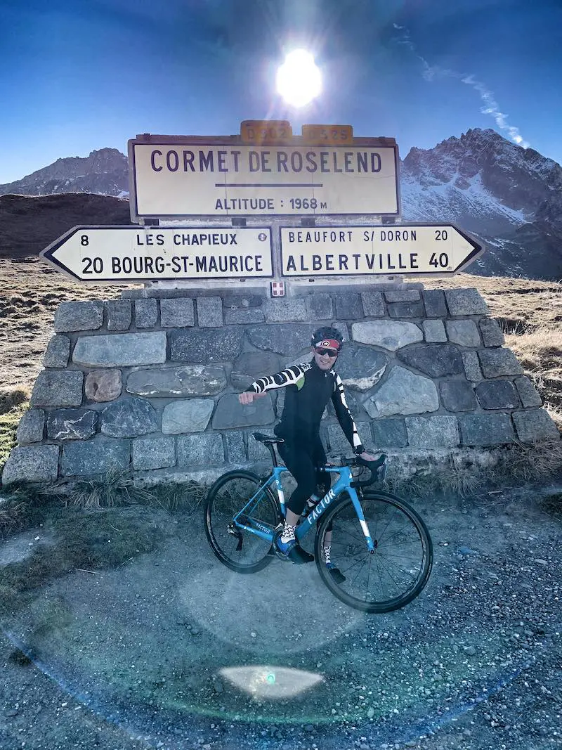
Just before the snow covered the slopes of the Cormet de Roselend (1968 m), David Polveroni was able to reconnoiter the entire upcoming Étape du Tour between Albertville and the Val Thorens resort, on November 15, 2018. Although located very high in altitude (2365 m), its access is open all year round. “The start is on the Avenue des 16e Jeux olympiques in Albertville, at an altitude of 446 m,” begins David Polveroni. “Very quickly, the route takes on some gradients that should stretch the peloton significantly to reach Beaufort (712 m, at the 20th kilometer). This section risks being nervous. Not enough to make a real selection among the best, but it’s a less rolling approach than in the past. In Beaufort, good bottle cages are necessary to cross the town, with its short cobbled sections that make you shake on the bike. Then, we tackle the Cormet de Roselend, which marks the beginning of hostilities for this event, with the summit reached at the 41st kilometer.“
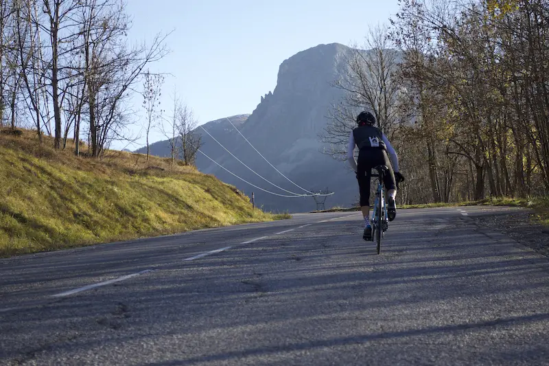
This first pass is 20.3 km long, with an average gradient of 6.04% and a maximum gradient of 9.6%. Nothing unmanageable for a trained cyclist, but the length of the climb must be taken into account. “We have a first rolling section with not too much gradient,” David Polveroni continues. “We gradually enter the heart of the ascent, following the Doron, 3.5 km before getting into the thick of it at Beaubois. The gradient is steady, around 7.5 / 8% up to the Col du Méraillet at 1630 m altitude, which marks a first stage in the climb.
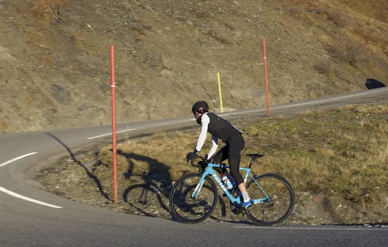
We’ve already been climbing for 10 km. During my reconnaissance, I note that the asphalt is in good condition. Nothing to report on that side, there shouldn’t be any gravel sections for 2019. We then have a short flat section to admire Lake Roselend and its dam. It’s one of the most beautiful panoramas in the Alps.
“This stage offers us a magnificent high-mountain setting throughout the route.”
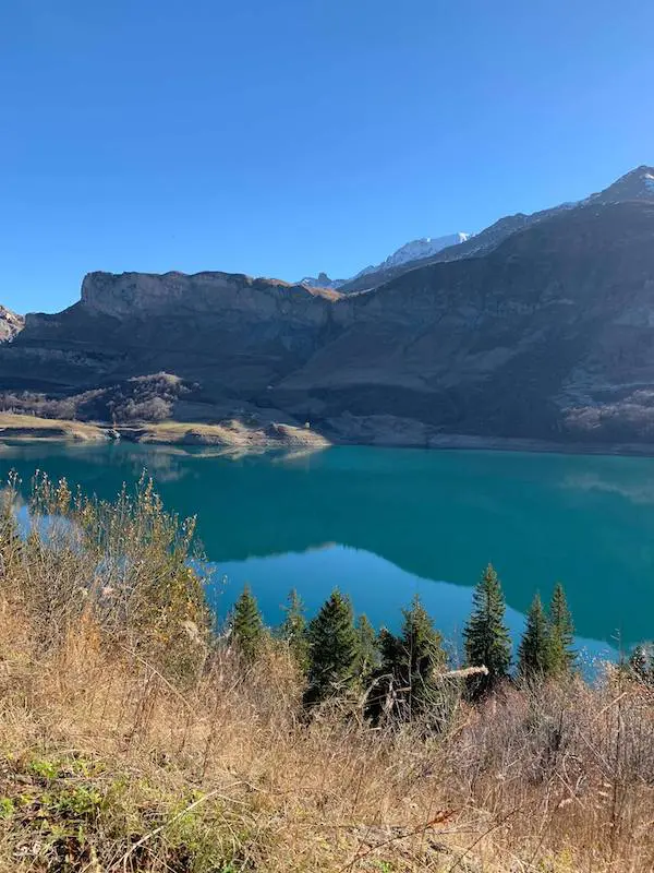
This stage offers us a magnificent high-mountain setting throughout the route. This is one of the most remarkable points. Also, from a strategic point of view, in my opinion, because you’ll have to conserve energy until here, as it’s still long… very long. A small descent allows you to regain speed. It’s short but it feels good, and then it’s off again for the last 5 kilometers to the pass. Once again, we are riding in a magnificent setting here. The gradient of these last 5 kilometers is still not excessive but steady at 6-8%, but the kilometers of climbing accumulate and we are approaching 2000 m (summit at 1968 m).“
Winding descent
“We tackle the long descent to Bourg-Saint-Maurice (812 m), 20 km, first with a fast section and 2/3 S-bends to reach Cret-Bettex after 10 km. Then a second, more winding and narrower section before really plunging down to Bourg. Very few traps in this descent, but anything can happen, such as Mathias Franck’s crash in the 2018 TDF. First phase of respite after that? Not at all. That’s the peculiarity of this stage. Everything follows on. But just after Bourg-Saint-Maurice, we still have a few crucial kilometers. You need to drink and refuel well. We have precisely 13.5 km between the foot of the Cormet descent and the start of the Notre-Dame-du-Pré climb. But no flat, small uphill false flats and descents. Quite leg-breaking.“
New climb
“We attack this climb of Le Pré (1311 m), after a straight descent, and we turn left. Without transition. Like the rest of this Étape du Tour, it’s a steady climb of 5.5 km at 7%. This bump, which is a real pass, small compared to the other two giants of the event, should not be underestimated, as it can hurt. After these 5 km, the climb is not over, as there are still 5 very rolling kilometers until the last one, which reminds you that you are on the Étape du Tour.
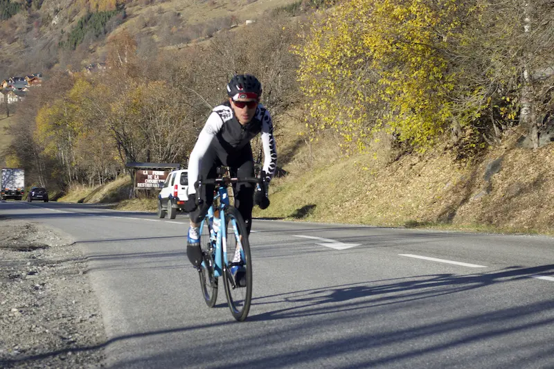
I think this false flat section is a good place to refuel. Indeed, once past the Col du Tra (the other name for this climb) and the village of Notre-Dame-du-Pré, we tackle a very technical descent. A succession of hairpin bends (about thirty in 10 km), all on a road surface that was in poor condition at the time of the reconnaissance. The scene is set. Not much time at that point to reach into your pocket. However, you have to stay vigilant. This is not a descent where you pick up speed. The curves follow one another. We arrive at Saint-Marcel, with a very short 700 m climb that really hurts the legs, allowing us to rejoin the main road to Moutiers. Another rare moment of respite before the day’s monster.“
An interminable final climb
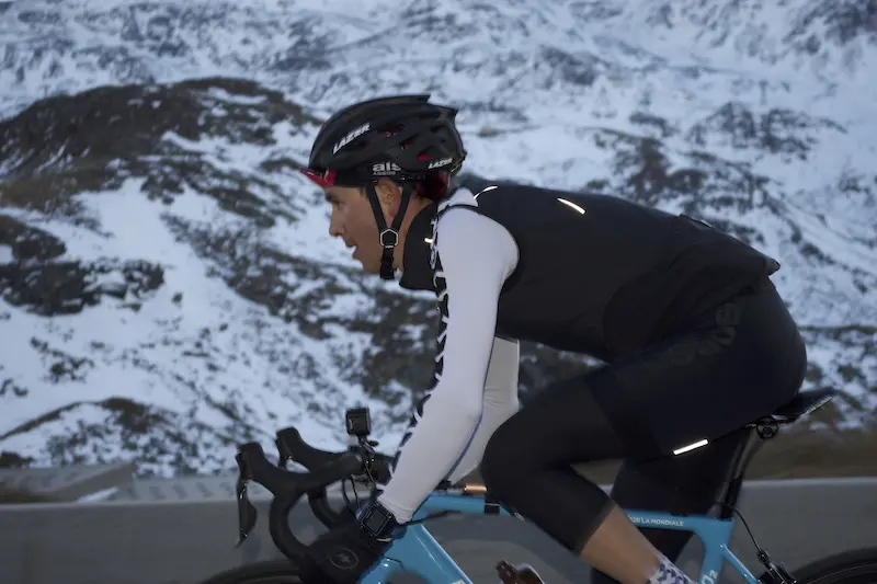
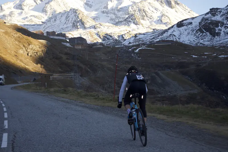
Val Thorens, the highest resort in France, is approached by a 36 km climb, 1860 m of elevation gain, an average gradient of 5.17% and a maximum gradient of 9.1%. “The climb to Val Thorens: the Tour hasn’t been there since 1994,” David Polveroni notes, “but we climb here via the small road of Saint-Laurent, not the main road. This climb is irregular, alternating short sections at 10% even if the gradient remains mostly around 6/7%. But the energy expended at the start of the event will gradually make the difference. After 12 km of climbing, a short descent and we rejoin the main road. 112 km on the bike computer, 3200 m of elevation gain, a very high ratio… There are still 1200 left.
“112 km on the bike computer, 3200 m of elevation gain, a very high ratio… There are still 1200 left.”
I insist, but this climb is very long and tiring, and it’s difficult to find your rhythm. We’re on a wide road, which reinforces the feeling of not making progress if you’re out of gas. The difference here, in my opinion, will be between those who overestimated their strength and those who managed their efforts well.
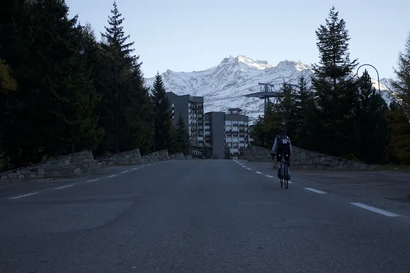
We cross Les Menuires (1850 m), a resort that reminds me of my early days in cyclosportives during the Bourgui. Another small descent (to do you good or to break the rhythm, depending on your perspective) and then it’s off for the last 7 kilometers. Modest gradients at 6/7%. You don’t get stuck even if you’re cooked. But the bill is steep at the end because it’s long. A quick tour of the resort and deliverance is there after 132 km and 4450 m, verified for those who thought the elevation gain was overestimated.“
A difficult Étape du Tour
This Étape du Tour, on paper, is “only” 130 km. Yes, but. There’s almost 4500 m of elevation gain.
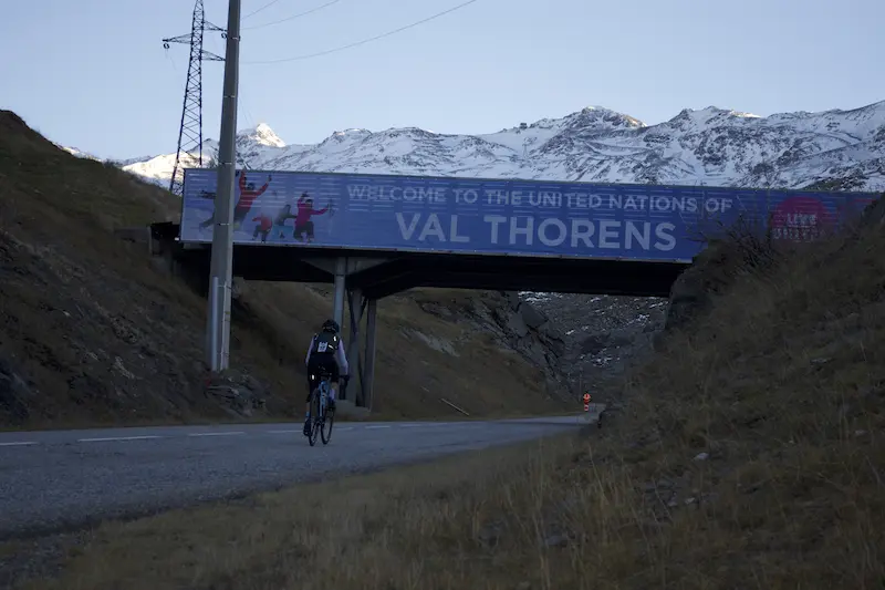
To compare it to a Marmotte, we have 174 km and 4900 m. The finish is after a climb of almost 40 km, and the last 6 km are at over 2000 m altitude. In short, this Étape is not a cut-price Étape as I may have heard, neither in its difficulty nor in its truly magnificent landscapes. The climb to Val Thorens is simply sublime. And on that day, there will only be bikes. So train well!“
| Practical information |
| -> See also: Strava link for the ride
Recommended gearing:
|
-> See also: All our Travel articles
Share the post "Reconnaissance of the Étape du Tour 2019"